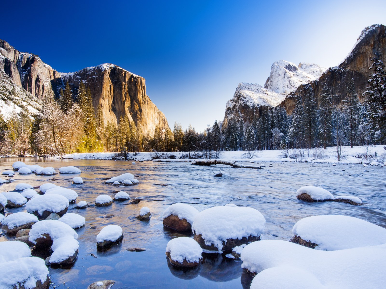

Hiking trails in Washington State: Best Trails for All Levels of hikers
Washington State, famous for its majestic mountains, dense forests and picturesque coastlines, is a true paradise for outdoor enthusiasts. The nature here is so rich and diverse that everyone will find a route to their liking, whether it’s an easy stroll through the green hills or a climb to the snowy peaks. Washington State residents value fresh air and an active lifestyle, so hiking trails play an important role in the region’s culture and recreation. In this article, we’ll highlight the best hiking trails for hikers of all levels.
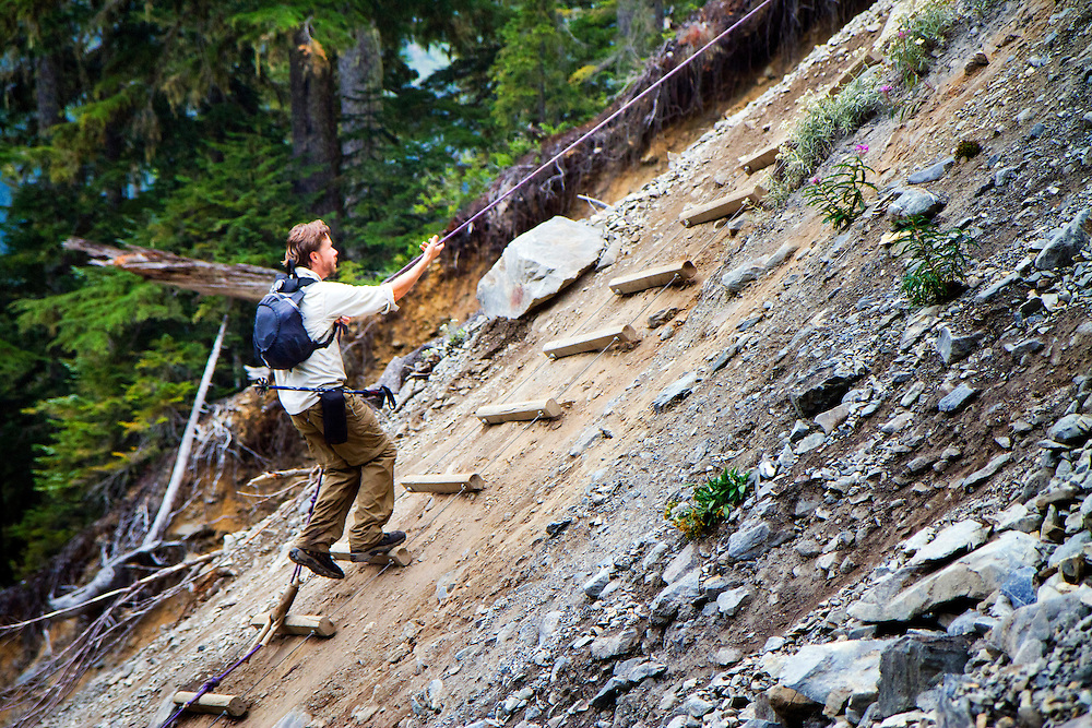
1. Mount Si (North Bend): A popular trail for hikers
Mount Si, located near the town of North Bend, Washington, is one of the most popular mountain trails in the region. This scenic route attracts locals and hikers alike with its accessibility and stunning views from the summit. The trail is especially popular with Seattle residents as it is only a 45-minute drive from the city, making it ideal for a day hike.
General information about the trail
- Length: 8 miles (12.8 km) round trip.
- Elevation gain: About 3,150 feet (960 meters).
- Difficulty Level: Medium. The climb is fairly steep, but suitable for hikers with good fitness.
- Travel Time: About 4-6 hours, depending on your pace.
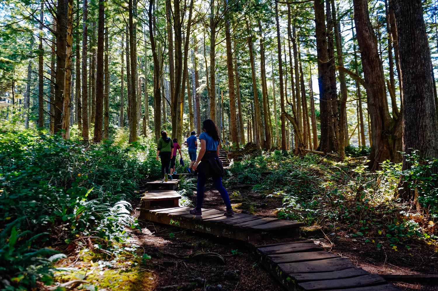
The trail starts at the foot of the mountain and gradually ascends through dense forest. Along the way, you will be able to see various species of flora and fauna typical of the Pacific Northwest region. As you ascend, the trail becomes increasingly steep and rocky sections are encountered along the way, adding a bit of a challenge to the hike.
Mount Si summit
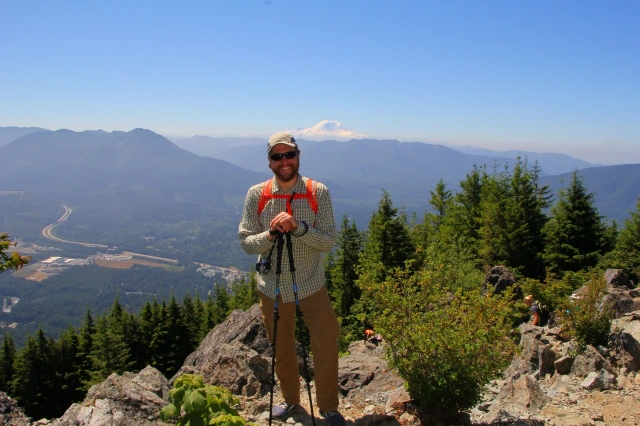
One of the main rewards for the effort is the panoramic view from the summit. From the summit, you can see the Snoqualmie River Valley, neighboring mountain ranges, and even Seattle in the distance. In clear weather, the views of Mount Rainier are spectacular. It’s a great place to relax, grab a bite to eat, and enjoy the stunning scenery.
Trail Popularity
Mount Si is part of the Cascade Mountains mountain range, which is known for its scenic landscapes. It is popular with locals, especially those training for the more challenging climbs in the region. Many use this route to train before conquering higher peaks such as Mount Rainier or Glacier Peak.
The trail can be quite busy on weekends, especially during the spring and summer months. It is recommended to arrive early in the morning to avoid the crowds and have time to enjoy the quieter environment.
How to get there
The start of the trail is easily accessible by car. The Mount Si trailhead is located just off the I-90 freeway. Take exit 31 (North Bend) and follow the signs to the start of the trail. The parking lot at the foot of the mountain has spaces for cars, but it can fill up quickly on weekends.
Amenities and Tips
There are no water sources or restrooms on the Mount Si Trail, so it is important to bring enough water and food. It is recommended to wear comfortable hiking shoes, as the trail is rocky and steep in places.
In winter and spring, it is worth considering the weather conditions: snow and ice can make the climb more difficult, so additional equipment such as trekking poles and crampons may be needed.
Why does Mount Si attract hikers?
Mount Si is ideal for a day hike due to its proximity to Seattle and moderate difficulty. This route is popular with those who want to enjoy beautiful views and spend time outdoors. The top of the mountain offers stunning views that become a real reward for the challenges overcome. The nature surrounding the trail and the unique landscapes of the region make this route one of the best for exploring the nature of Washington State.
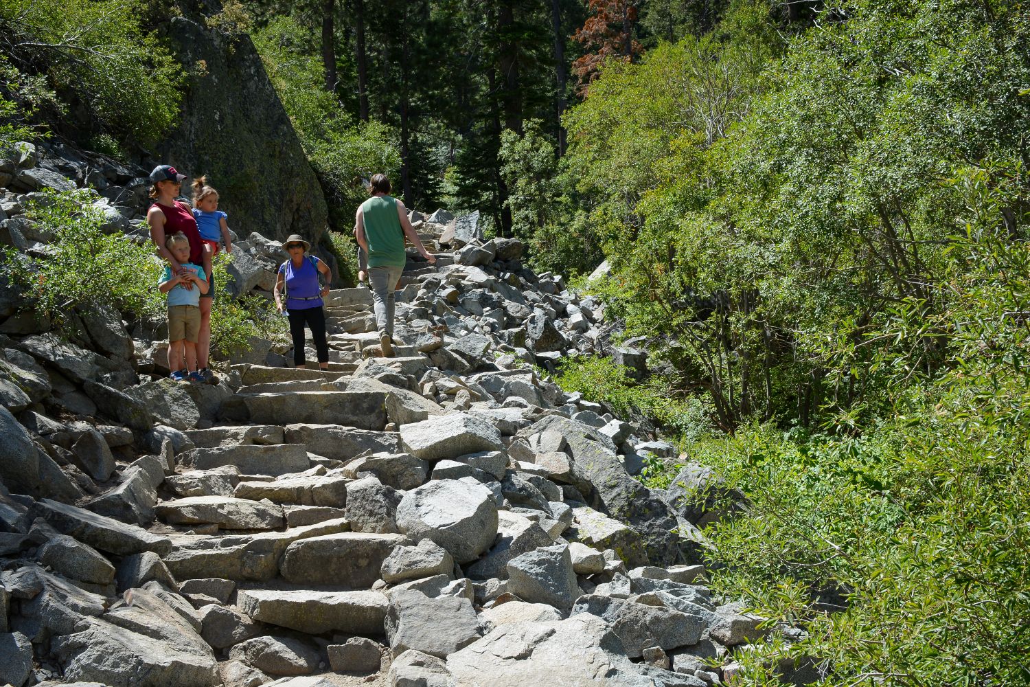
2. Rattlesnake Ledge (North Bend): A scenic hike for the whole family
Rattlesnake Ledge is one of the most popular and scenic hiking trails in Washington State, located near the town of North Bend. This trail attracts hikers for its stunning views, accessibility, and moderate difficulty. It is a great option for those looking for a weekend hike suitable for both beginners and more experienced nature lovers.
Basic trail information
- Length: 4 miles (6.4 km) round trip.
- Elevation gain: Approximately 1,160 feet (353 meters).
- Difficulty Level: Medium. The climb is not too steep, making the route accessible for families with children and beginner hikers.
- Travel Time: About 2-4 hours, depending on your pace.
The trail starts at the shores of scenic Rattlesnake Lake and climbs up a wooded slope. Along the way, you can enjoy the dense forests and peaceful nature of the region. The path is well-marked and maintained, making it accessible to most hikers.
Rattlesnake Ledge summit
One of the main benefits of this trail is the stunning views that can be enjoyed from the top of Rattlesnake Ledge. From the bluff, you can see endless forests, mountain ranges, and Rattlesnake Lake itself below. The view is breathtaking and great for photos. This spot is often used as a picnic stop, so it is recommended to bring a small snack and enjoy the moment at altitude.
Unlike some other trails in Washington State, Rattlesnake Ledge does not require complicated equipment or training, making it a great choice for beginners or family hikers.
Trail Popularity
Rattlesnake Ledge is one of the most popular trails in King County, especially among Seattle residents, as it is only a 40-minute drive from the city. This trail is popular any time of year, but it is especially crowded in the spring and summer. The trail can get congested on weekends, so it is recommended to hike early in the morning to avoid the crowds.
How to get there
The Rattlesnake Ledge Trail begins at Rattlesnake Lake, which is easily accessible by car. Follow the I-90 freeway and take exit 32 (North Bend). Then follow the signs to the parking lot at the lake. Parking is free, but can fill up quickly, especially on weekends and during warm weather.
Amenities and Tips
Rattlesnake Lake has several amenities on site, including restrooms and picnic areas. However, there are no water sources on the trail itself, so it is important to bring enough water and food. It is also recommended to wear comfortable hiking shoes, as the trail has rocky sections.
In the winter, the trail can get covered in snow and ice, so it’s worth considering the weather conditions before hiking and bringing extra gear if necessary.
Why is Rattlesnake Ledge popular with hikers?
This route attracts hikers of all ages due to its accessibility and incredible views from the summit. Unlike more challenging and longer hikes, Rattlesnake Ledge offers a great balance between physical activity and outdoor enjoyment. The beautiful views, peaceful atmosphere, and proximity to Seattle make this trail an ideal choice for a day hike.
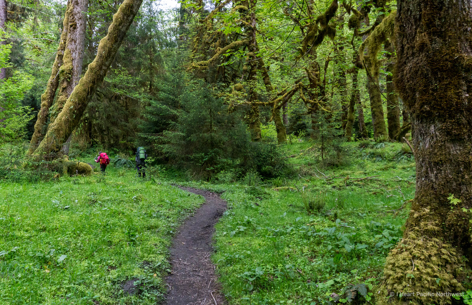
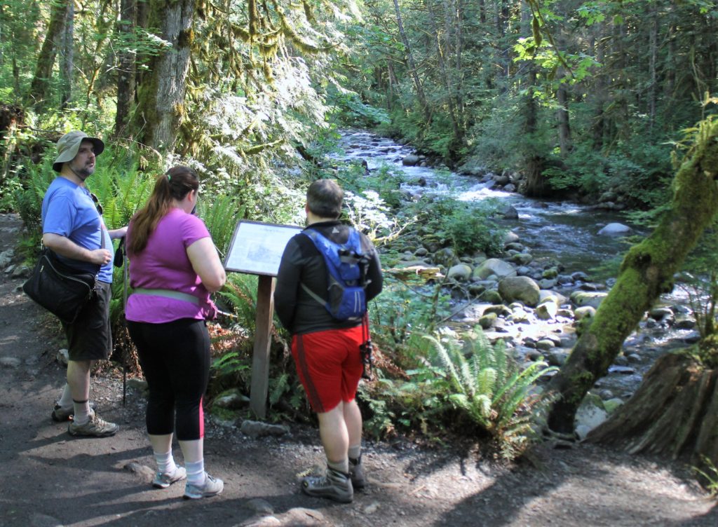
3. Hoh River Trail (Olympic National Park): A journey into the heart of the rainforest
The Hoh River Trail is one of the most amazing and popular hiking trails in Washington State, located in the heart of Olympic National Park. This trail provides a unique opportunity to immerse yourself in the dense, green forests that characterize the region and hike along the majestic Hoh River. The route is ideal for those who want to see the Olympic Peninsula’s famous rain forest, enjoy the solitude of nature, and experience a true wilderness adventure.
Basic route information
- Length: 34.8 miles (56 kilometers) round trip.
- Elevation gain: About 3,000 feet (914 meters) to Blue Glacier Base Camp.
- Difficulty Level: Medium to High. Most of the trail requires no technical skill, but the full route can be long and demanding.
- Travel Time: One to several days, depending on whether you plan to hike the entire trail or just part of it.
Hoh River Trail offers a variety of options for hikers. Some prefer short hikes of a few miles in length, enjoying the views of the forest and river. More prepared hikers may opt for a multi-day hike, ending at Blue Glacier on the side of Mount Olympus.
What makes the Hoh River Trail special?
The main attraction of the trail lies in its unique setting. You will be hiking on a trail that crosses one of the few remaining temperate rain forests in the world. Tall moss-covered trees, dense greenery, ferns and huge spruce trees create a mysterious and mesmerizing atmosphere.
One of the key aspects of this trail is its connection to the Ho River. The trail follows the river for most of the route, providing hikers with beautiful views of the rushing waters and forested slopes. The Ho River originates from the glaciers of Mount Olympus and is an important part of the national park’s ecosystem.
Popular stops along the route
- Hoh Rain Forest Visitor Center – The starting point of the trail where you can get information about the trail, weather conditions, and camping permits.
- Mineral Creek Falls – A beautiful waterfall located a few miles from the start of the trail. A great place for a shortstop and photos.
- Five Mile Island is a popular camping spot located about 5 miles from the start of the trail. Campers can stay here overnight or just relax and enjoy the views.
- Lewis Meadow is another scenic camping spot located at mile 10. It is a wide, flowering meadow with a beautiful view of the river.
- Glacier Meadows is the final trailhead for those who choose to hike the entire trail. It is the base for hikers traveling to Blue Glacier Glacier.
How to get to Hoh River Trail
To get to the Hoh River Trail, you need to drive to Olympic National Park. From Seattle, you should head west on Highway 101 before turning onto Hoh River Road, which will take you to the Hoh Rain Forest Visitor Center. The drive takes approximately 4 hours, so planning ahead is recommended.
Amenities and tips
There are several campgrounds along the trail, such as Five Mile Island and Lewis Meadow, which provide hikers with the opportunity to camp and spend the night in the forest. For multi-day camping, a camping permit must be obtained from Olympic National Park.
Important Tips:
- Clothing: The rain forest is humid all year round, so it is recommended to wear waterproof clothing and comfortable hiking shoes.
- Stock up on food and water: There are no stores or drinking water sources on the trail, so it is important to bring enough food and drinking water or a water filter.
- Respect for Wildlife: The Hoh River Trail passes through areas inhabited by wildlife, so it pays to be prepared to encounter wildlife such as bears and moose.
Why visit Hoh River Trail?
The Hoh River Trail is a unique opportunity to see a rare rainforest and enjoy the solitude of nature in one of Washington State’s most scenic locations. This trail appeals to nature lovers and seasoned hikers alike, offering a variety of landscapes and spectacular views.
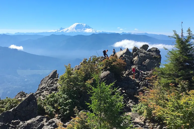
4. Lake 22 Trail: The jewel of the Mount Baker-Snoqualmie National Forest
Lake 22 Trail is one of the most scenic hiking trails in Mount Baker-Snoqualmie National Forest that attracts hikers with its stunning views, crystal clear lake, and dense forest surroundings. This trail offers a great opportunity to enjoy the natural surroundings of Northwest Washington and is suitable for both beginners and more experienced hikers.
Basic trail information
- Length: 5.4 miles (8.7 km) round trip.
- Elevation gain: 1,350 feet (411 meters).
- Difficulty Level: Medium. The route is relatively short, but the climb can be quite steep in some places.
- Travel time: 3-4 hours for a full round trip hike.
The Lake 22 Trail begins with a trail through dense forest that gradually climbs up through ancient trees and mossy slopes. As the trail progresses, hikers cross several streams and waterfalls, which adds to the sense of adventure and solitude in nature.
Trail Features
The Lake 22 Trail passes through scenic forests where hikers can enjoy views of mossy trees, ferns, and babbling brooks. The area is especially beautiful in the fall, when the forest is painted in vibrant yellow and orange hues.
One of the key features of this route is Lake 22 itself. Surrounded by majestic cliffs and dense forest, this crystal clear lake looks like a true natural wonder. Tourists can stop at the lakeshore to rest, grab a bite to eat, and enjoy the stunning views. In winter, the lake often freezes over, making it even more spectacular.
How to get to Lake 22 Trailhead
Lake 22 Trailhead is located on the Mountain Loop Highway, about 60 miles (96 km) from Seattle. The trip by car takes about 1.5 to 2 hours. Keep in mind that some of the road may not be paved, so a high-clearance vehicle is recommended.
Tips & Tricks
- Prepare for weather changes: The weather changes frequently in the area, so it is important to bring waterproof clothing and sturdy shoes, especially if you plan to hike in the fall or spring when the trail can be wet and slippery.
- Stock up on food and water: There are no drinking water sources on the trail, so it’s important to bring an adequate supply of water and food for snacks.
- Be careful in winter: In winter, the trail can be covered in snow, making it difficult to climb. If you plan to hike in winter, be sure to bring the proper gear and be prepared for winter conditions.
- Respect for Nature: Lake 22 Lake is a nature preserve and it is important to keep it clean. Don’t leave trash and follow the Leave No Trace rules.
Why Visit Lake 22 Trail
Lake 22 Trail is the perfect place for those looking for scenic views and solitude in nature without traveling too far from Seattle. It is one of the most popular trails in the region due to its accessibility and stunning views.
5. Enchantment Lakes: A magical piece of nature in Leavenworth
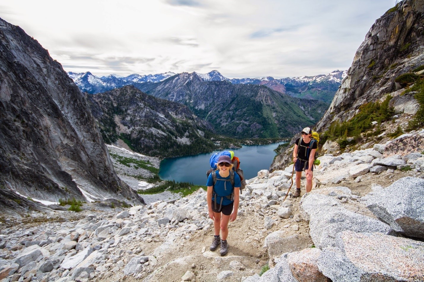
Enchantment Lakes is one of the most scenic and popular hiking destinations in Washington State. Located on the outskirts of Leavenworth, this area is a chain of alpine lakes surrounded by majestic granite peaks and expansive forests. Hiking in Enchantment Lakes is a dream for many hikers and nature lovers, but also requires some preparation and experience due to its difficulty and duration.
Basic route information
- Length: 18 miles (about 29 km) round trip (the entire route via Enchantment Lakes).
- Elevation gain: 4,500 feet (about 1,372 meters).
- Difficulty Level: High. This route is for experienced hikers as it includes steep climbs and long hikes.
- Travel Time: 2-4 days to complete the entire trail.
Enchantment Lakes Trail is a challenging hike that takes you through some of the most beautiful landscapes in Washington State. The route starts at either Snow Lake Trailhead or Stuart Lake Trailhead, depending on the direction you decide to go. It passes through areas with lakes, granite cliffs, alpine meadows, and incredible panoramic mountain views.
Trail Highlights
- Snow Lakes: These lakes are often the first major landmark on the way to Enchantment Lakes. They are surrounded by dense forests and rocky cliffs, creating an atmosphere of seclusion and tranquility.
- The Core Enchantments: The main part of Enchantment Lakes is located in the heart of this mountainous area. Tourists can pass through famous spots such as Perch Lake, Goat Lake and Crystal Lake, each of which is breathtakingly beautiful.
- Aasgard Pass: This is one of the most challenging sections of the trail, which is a steep climb of 2,200 feet (670 meters) to the upper level of Enchantment Lakes. As you climb Aasgard Pass, you will be rewarded with stunning views of the surrounding mountains and lakes.
How to get to Enchantment Lakes
The Enchantment Lakes area is about 12 miles (19 km) from Leavenworth, a small Bavarian town that is a popular tourist attraction in its own right. By car from Seattle, Snow Lake or Stuart Lake trailheads can be reached in 2.5 to 3 hours. Both trailheads are located on the main Icicle Creek Road.
Permits and Planning
In order to access the Enchantment Lakes region, you must obtain an overnight camping permit. This is because the region is a protected area and access is strictly regulated to minimize environmental impact. A lottery for permits is held in advance, and obtaining a permit can be difficult due to high demand.
If you are planning a day hike (which is rare due to the difficulty of the route), a permit is not required, but it does require very good fitness and an early start to the hike.
Tips for hikers
- Prepare for elevation and temperature changes: The weather in the mountains can change quickly and the elevation changes on the trail are significant. It is important to bring warm and waterproof clothing, even if it is warm and sunny down below.
- Stock up on food and water: Enchantment Lakes has no developed infrastructure, so it is essential to bring enough food and water. It is also important to have a water filter or purification system, as some of the lakes may be drinkable.
- Be prepared for steep climbs: Some sections of the trail, such as Aasgard Pass, may require the use of hands to climb, so be prepared for challenging conditions.
- Follow Leave No Trace rules: Enchantment Lakes is one of the cleanest and most pristine places in the state, so it’s crucial to follow environmental rules and regulations to preserve this beauty for future generations.
Why visit Enchantment Lakes?
Enchantment Lakes is a destination that attracts tourists with its unique beauty and a sense of true adventure. It is one of the best places for mountaineering and trekking in Washington that will make you feel a part of the wilderness and enjoy unforgettable scenery.
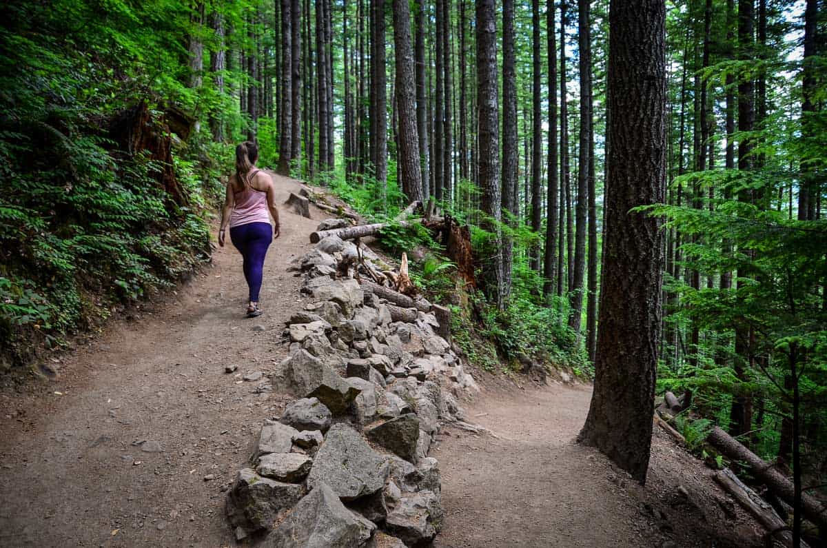
6. Wallace Falls: A Natural Wonder in Gold Bar, Washington State
Wallace Falls is one of the most popular waterfalls in Washington State, located in a scenic region near the city of Gold Bar. This waterfall attracts tourists for its beauty and accessibility, offering great views and a variety of outdoor activities. The waterfall consists of nine cascades, totaling approximately 265 feet (81 meters) in height, and is the main feature of the park of the same name.
Location and accessibility
Wallace Falls is located in Wallace Falls State Park, about an hour’s drive northeast of Seattle. This makes it an ideal destination for day trips into nature. The park is located just off U.S. Highway 2, providing easy access for visitors.
Basic trail information
- Trail length: 5.6 miles (about 9 kilometers) round trip.
- Elevation gain: About 1,300 feet (about 396 meters).
- Difficulty Level: Medium. The route is suitable for intermediate level hikers, with some steep climbs on the way to the top of the falls.
The trail starts from the park parking lot and follows the Wallace River through dense forest before gradually climbing up to the falls. Along the way, you can stop at several lookouts to enjoy the views and take photos. The most popular stops are Lower Falls, Middle Falls, and Upper Falls, each offering unique views of different cascades of the falls.
What to see and do
- Views of the Falls: The best part of the experience is, of course, the view of Wallace Falls, especially from the observation platforms at Middle and Upper Falls. From there, there are stunning panoramas of the Skykomish River Valley and the falls themselves, which are especially impressive during the snowmelt season or after heavy rains.
- Fishing and Camping: The park also offers camping and fishing opportunities on lakes and rivers, making it a great place to spend a weekend in the great outdoors. Wallace Lake is a popular fishing spot for trout.
- Picnicking and Hiking: For those who don’t want to make the full hike to the falls, the park has equipped picnic areas and short walking trails. This makes it an ideal place for outdoor family vacations.
Tips for hikers
- Dress for the weather: The weather in the Gold Bar area can be fickle, especially in the off-season. It is important to bring waterproof clothing and shoes, as the trail can be slippery after rain.
- Get there early: During summer and weekends, the park can be crowded, especially in the trailhead parking lot. To avoid the crowds and enjoy the quiet of nature, it is recommended to arrive early in the morning.
- Don’t forget safety: Although the route is not too difficult, the steep climbs and tree roots on the trail require caution. Stick to the trail and watch your steps, especially on wet sections.
Why visit Wallace Falls?
Wallace Falls is the perfect place to explore the natural beauty of Washington State. This waterfall and the surrounding park offer a variety of outdoor activities, from hiking to picnicking to fishing. Easy access, scenic views, and relative proximity to Seattle make it popular with locals and tourists.
7. Cape Flattery Trail (Neah Bay)
Cape Flattery is the westernmost point of the continental U.S., and the Cape Flattery Trail leads through old-growth forest to rocky cliffs that offer stunning views of the Pacific Ocean and islands. This easy trail is only 1.5 miles (2.4 kilometers) long and is ideal for beginner hikers. Sea lions, whales, and rare bird species can be seen here.
Cape Flattery Trail is one of the most impressive and iconic hiking trails in Washington State, located in the far northwestern United States near the village of Neah Bay. The trail leads to Cape Flattery, the westernmost point on the continental United States where the waters of the Pacific Ocean and the Strait of Juan de Fuca meet. This spot is famous for its spectacular ocean views, rocky shores, and abundant wildlife.
Location and Accessibility
Cape Flattery Trail is located on the Makah Reservation. Access to the trail requires a permit, which can be purchased at the Makah Tribal Cultural Center in Neah Bay. The village of Neah Bay itself is located about 4 hours northwest of Seattle and approximately 90 minutes from the city of Port Angeles.
Basic trail information
- Trail length: 1.5 miles (about 2.4 kilometers) round trip.
- Gain in elevation: Low, only about 200 feet (60 meters), making the trail easy and accessible for hikers of all levels.
- Difficulty Level: Easy. Suitable for families with children and people of varying fitness levels.
The trail passes through dense forests and wetlands and then leads to several wooden observation decks that offer spectacular views of the cliffs and ocean. Some sections of the trail are paved with decks, making the path more comfortable and safer, even in wet weather.
What to see and do
- Ocean and cliff views: One of the highlights of Cape Flattery Trail is the stunning panoramic views of the Pacific Ocean and rocky shores. At the farthest observation deck, you can see the small island with the Tatoosh Island lighthouse and the rough waves of the ocean crashing against the rocks. This is the perfect place for nature photography enthusiasts.
- Wildlife Watching: This region is teeming with wildlife. From the coast, you can observe sea otters, seals, sea lions and whales, which often pass by the Cape during migration seasons. There are also many seabirds such as eagles, cormorants and gulls.
- Historical significance: Cape Flattery is of great cultural and historical significance to the Makah tribe. Native peoples have lived in the area for over 3,000 years, and informational signs can be found along the trail that tell the culture and history of the area.
Tips for hikers
Get a permit: Be sure to purchase a permit for the Cape Flattery Trail. It is required for access to the Makah Tribe’s reservation and helps maintain the trail and surrounding natural resources.
Dress for the weather: The weather on Cape Flattery can be windy and rainy, even in the summer, so it pays to prepare for unpredictable conditions. It is recommended to bring rain gear and warm clothing.
Watch out for slippery areas: Although many parts of the trail are equipped with wooden decks, they can be slippery in rainy weather. Use caution on sections with steep descents and ascents.
Why visit Cape Flattery Trail?
Cape Flattery Trail is a unique destination that combines amazing natural beauty, cultural heritage and accessibility for all levels of hikers. Unforgettable ocean views, the opportunity to encounter wildlife, and the chance to feel on the edge of the continent make this place truly special. For those considering a move to Washington State, proximity to such natural wonders is a major advantage.
Why is Washington State attractive for relocation?
Washington attracts people not only for its unique nature, but also for its high quality of life. There is a well-developed infrastructure, plenty of opportunities for work, excellent education and safety. Moving to this state opens up access to scenic places for recreation and active lifestyle, making it one of the best places to live in the US.
We are ready to help you with your relocation
If you are planning a move to Washington State and want to enjoy all of its natural beauty, our moving company is ready to take care of all your moving needs. We will ensure that you move comfortably and safely to any corner of the state, so you can start exploring Washington’s amazing hiking trails as soon as possible.
Contact us in any way:
Telephone: (888) 282-6940